GIS online training course «The use of GIS in animal disease response»
The online course «The use of GIS in animal disease response» is available in the e-learrning platform of the Istituto Zooprofilattico Sperimentale delle Venezie. The course ...
The online course «The use of GIS in animal disease response» is available in the e-learrning platform of the Istituto Zooprofilattico Sperimentale delle Venezie. The course ...
The avian influenza (AI) epidemic of 2016-2017 had been the largest in Europe in more than 10 years. The circulating virus was a Highly ...
The OIE - GIS training course "The use of GIS in animal disease response" will be held in Shenzhen (China) between the 12 and the 16 ...
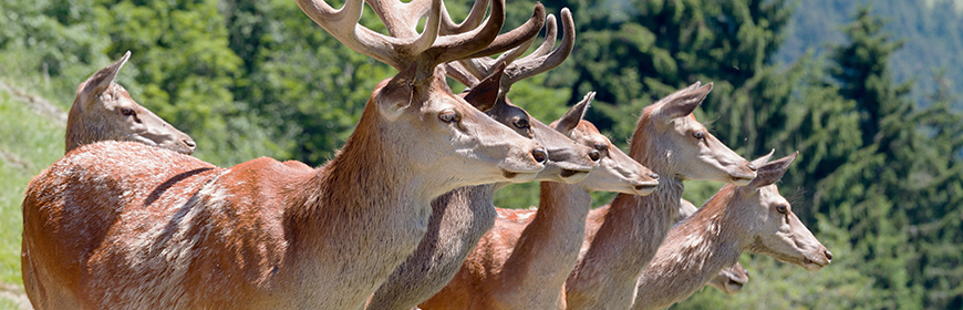
In the eastern Alps, and also across the Alps as a whole, populations of wild ungulates (such as deer, roe deer, fallow deer and wild ...
Addressing animal health emergencies with the aid of GIS (geographic information system) potential and technology. This will be the focus of discussion, from 10 to 14 ...